In today’s changing world, technological advancements are happening at a fast pace. Satellites have become an important tool that is changing industries worldwide. High-quality images taken from space give us new viewpoints and provide valuable information. This piece explores the many uses of satellite imagery and how it influences different fields.
Enhancing Agricultural Practices
Farming relies heavily on satellite images of Earth for insights and assistance in monitoring crop health and environmental conditions such as soil quality and water management practices. Thanks to these aids, farmers can now make informed choices regarding planting strategies, fertilizer application, and irrigation methods. This precise agricultural method not only boosts harvests but also minimizes waste and maximizes the utilization of available resources. Besides, this technology helps identify pest outbreaks promptly, address them, and reduce crop damage.
Revolutionizing Urban Planning
The field of urban planning has undergone changes thanks to the use of satellite imagery technology in recent years. City planners now have access to timely images for evaluating land usage patterns, infrastructure advancements, and population expansion. Such images help pinpoint areas susceptible to traffic congestion, leading to enhanced traffic management strategies. Moreover, these visuals offer valuable information on green areas encouraging environmentally friendly urban growth. By making use of this advanced technology, urban planners can design cities that are more liveable and effective, thereby enhancing the overall well-being of the inhabitants.
Bolstering Environmental Conservation
Satellite imagery has become essential for supporting environmental conservation initiatives by helping scientists and conservationists monitor deforestation, wildlife habitats, and the effects of climate change. This technology allows experts to pinpoint areas that urgently need help by analyzing alterations in land usage and plant life patterns. The data-centered methodology aids in implementing conservation plans to safeguard endangered species and ecosystems. It also responds to disasters by offering details during floods or wildfires.
Advancing Disaster Management
Natural calamities present difficulties on a higher scale. Satellite pictures are essential in managing disasters by providing up-to-date information for response and recovery actions. Authorities can evaluate the extent of damage and pinpoint regions by examining satellite images. These details are crucial for organizing rescue missions and distributing assistance to individuals in distress. Furthermore, satellite imagery assists in forecasting disasters, enabling measures to reduce risks and safeguard lives.
Optimizing Supply Chain Logistics
The efficient functioning of the supply chain greatly depends on logistics management practices. Satellite images play a role in improving the operations of the supply chain by offering up-to-date information on weather conditions and traffic congestion at ports. This data aids in planning routes and allocating resources, reducing delays and improving efficiency while cutting down on costs. Moreover, satellite imagery provides insights into inventory control, enabling businesses to maintain stock levels. This allows companies to meet customer needs and guarantee satisfaction and loyalty promptly.
Improving Telecommunications Infrastructure
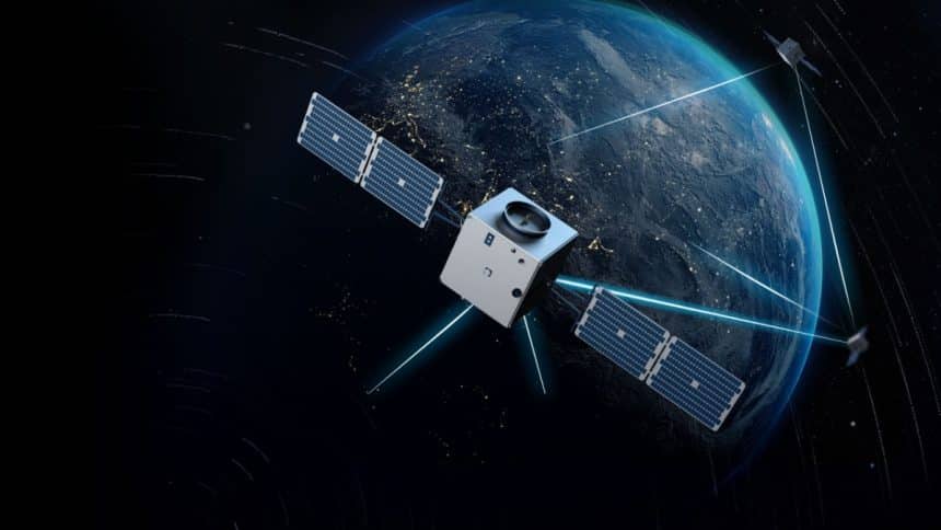
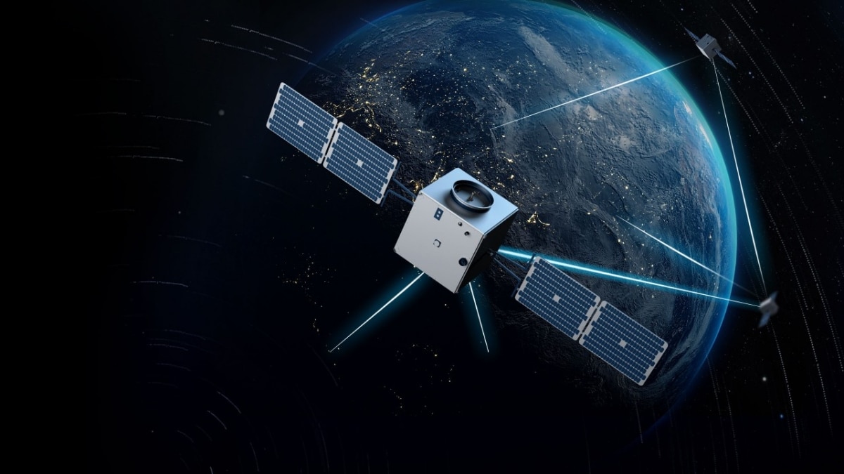
Telecommunications infrastructure relies on information and practical strategizing for operations. There are satellite images that provide perspectives of the land and surroundings to aid in setting up communication systems. By pinpointing spots for towers, reception points, and wiring, firms can broaden their reach and boost connectivity. The captured images also play a role in overseeing network functionality, troubleshooting problems, and streamlining maintenance tasks. This ultimately enables telecom providers to offer services enriching communication experiences for individuals and enterprises.
Promoting Sustainable Energy Solutions
The sustainable trend in the energy sector is on the rise with the use of satellite imagery. Companies can pinpoint locations for energy endeavors based on land characteristics and environmental factors like solar exposure and wind flow patterns. This methodical analysis supports resource efficiency efforts by decreasing dependence on traditional fuels and lessening ecological impacts. Satellite imagery is instrumental in driving a more environmentally friendly and sustainable path forward.
Conclusion
The significant impact of satellite imagery should not be underestimated. Its diverse uses in fields underscore its importance in tackling issues and encouraging new ideas. From improving farming methods to advocating for energy sources, satellite pictures offer information that propels advancement. As technology progresses, the opportunities for satellite imagery to transform industries are boundless. Adopting this technology will undoubtedly result in a more interconnected community for everyone.